Signal Space is an ongoing independent research initiative exploring the historical and contemporary relationships between broadcast technology and urban form, with an emphasis on communicating information about mobile phone networks and the mobile phone infrastructure.
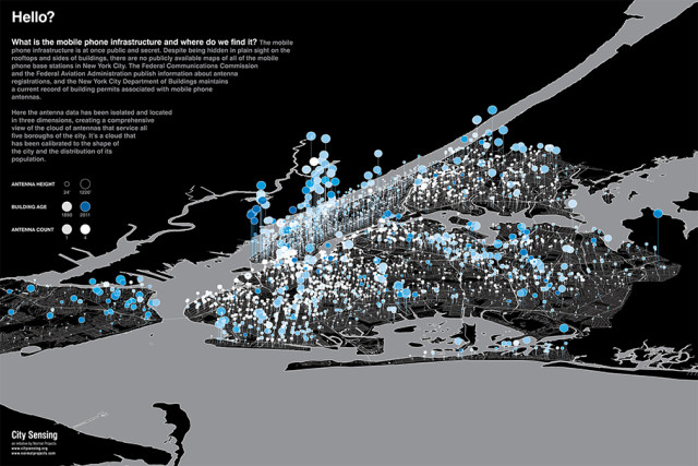
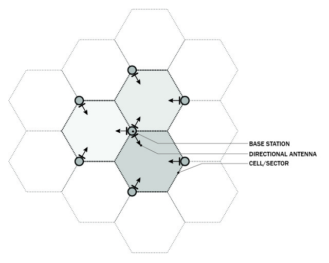
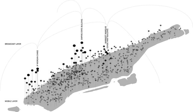
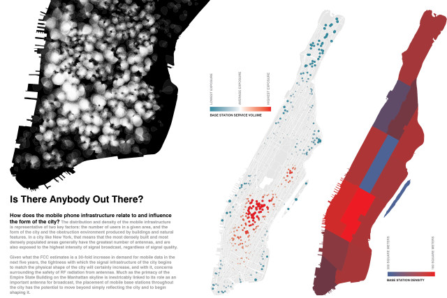
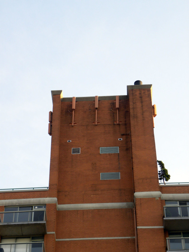
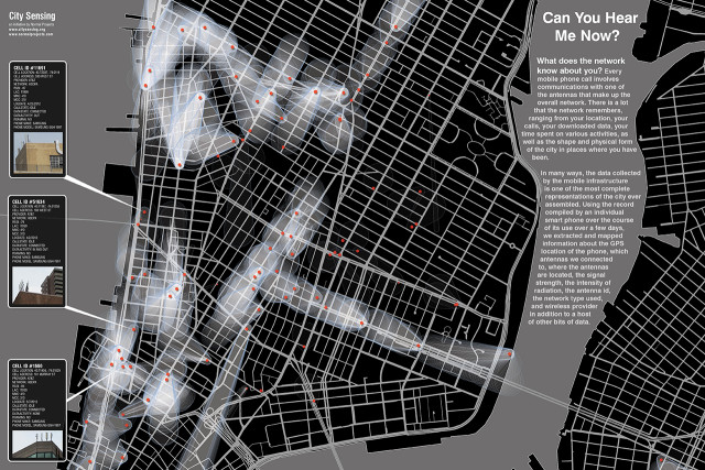
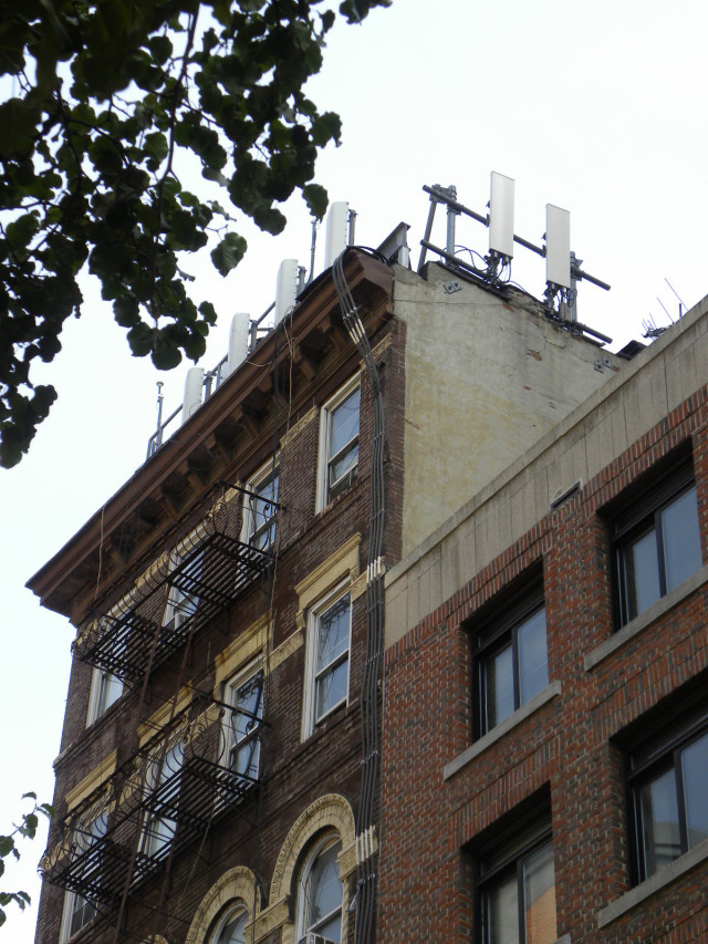
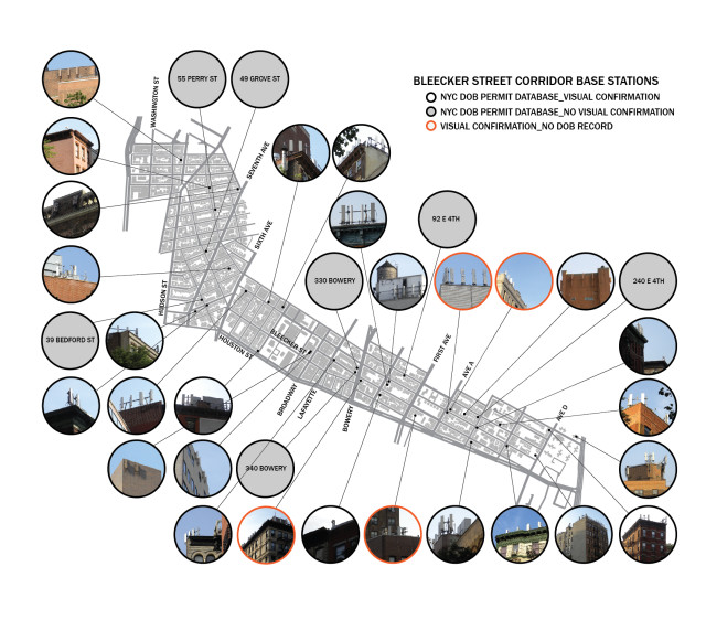
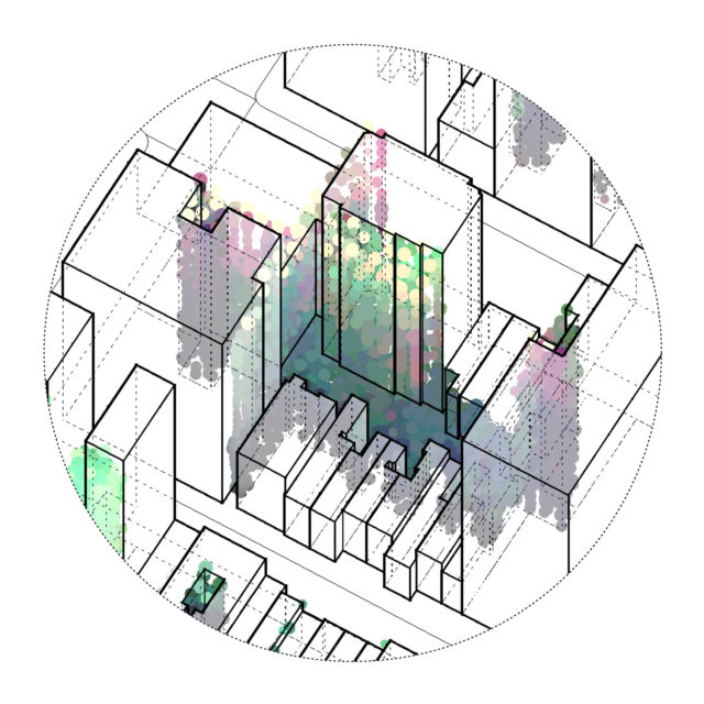
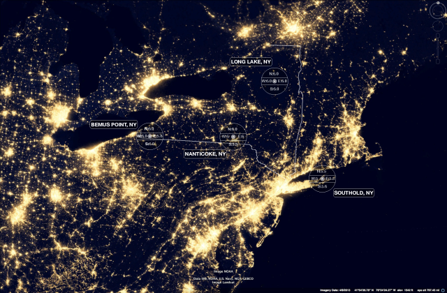
Despite how essential it is to modern life, the mobile phone infrastructure is little understood, entirely privately owned, and hiding in plain sight. The centerpiece of the project is a geo-located database developed by analyzing New York City Department of Buildings records, along with FCC and FAA databases. The database is used to construct the only map of all 14,000 plus mobile base stations in New York City. The map correlates antenna locations and density, building heights and age and is offers a comprehensive and searchable view of an otherwise secret infrastructure.
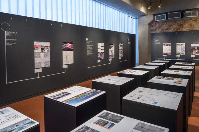
The project also includes scholarly texts, recently published in Urban Omnibus, and Bracket [Goes Soft], as well as a series of informational pamphlets, presentations, and banners that were featured as part of Spontaneous Interventions, the USA Pavilion at the 2013 Venice Biennale of Architecture.
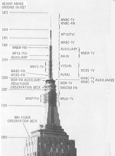
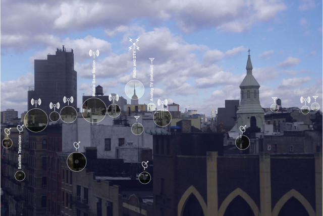
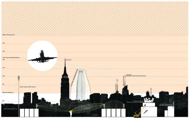
Signal Space is the space of negotiation between mobile phone networks, their infrastructures, and the City. Signal Space is everywhere there is a signal. Broadcast technology played an important role in the development of the modern metropolis, and just as the historical relationship between the city and its antennas helps to set the skyline, the relationship between the mobile phone and data infrastructure and the city is one that is helping to shape the future form and future protocols of the city.
